Introducing The Mesic Analysis Platform: Restore Water Where It Matters Most
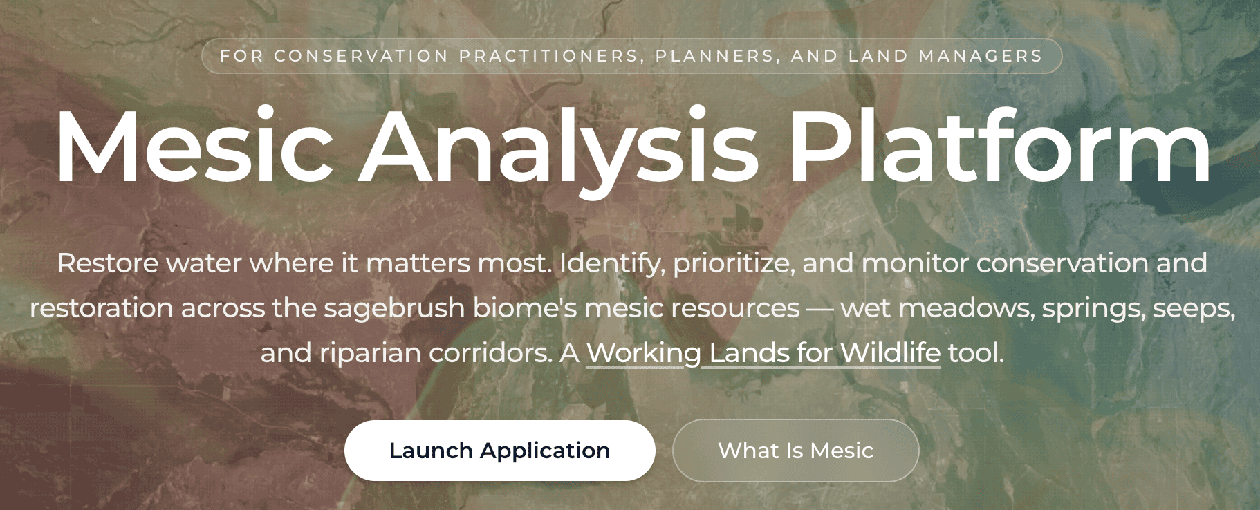
The Mesic Analysis Platform helps guide conservation of mesic, or wet, resources across sagebrush country.

Virtual Fences, Actual Conservation
July 9, 2026
America’s Tree Canopy, Now in 3D
July 22, 2026
Conserving Green Lifelines Through Dry Country
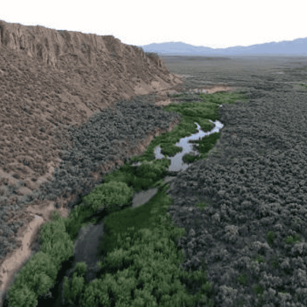
Water is life in the arid sagebrush landscapes of the American West. On these vast rolling rangelands, wet places provide pockets of green that support wildlife, livestock, and people.
These pockets of green are called mesic resources, defined as places where water meets land. They include riparian areas along streams and rivers, wet meadows, springs, irrigated fields, and high-elevation habitats.
A new web-based app developed by Working Lands for Wildlife called the Mesic Analysis Platform (MAP) helps conservationists, ranchers, restoration practitioners, and land managers identify and protect these vital wet places across the sagebrush biome.
“The Mesic Analysis Platform shows where the wet parts of the landscape are, how they’re changing through time, and where restoration investments may generate the greatest benefits for wildlife, vegetation, forage production, and water storage,” says Scott Morford, an applied spatial ecologist at the University of Montana.
Prioritize Mesic Resources For Lasting Resilience
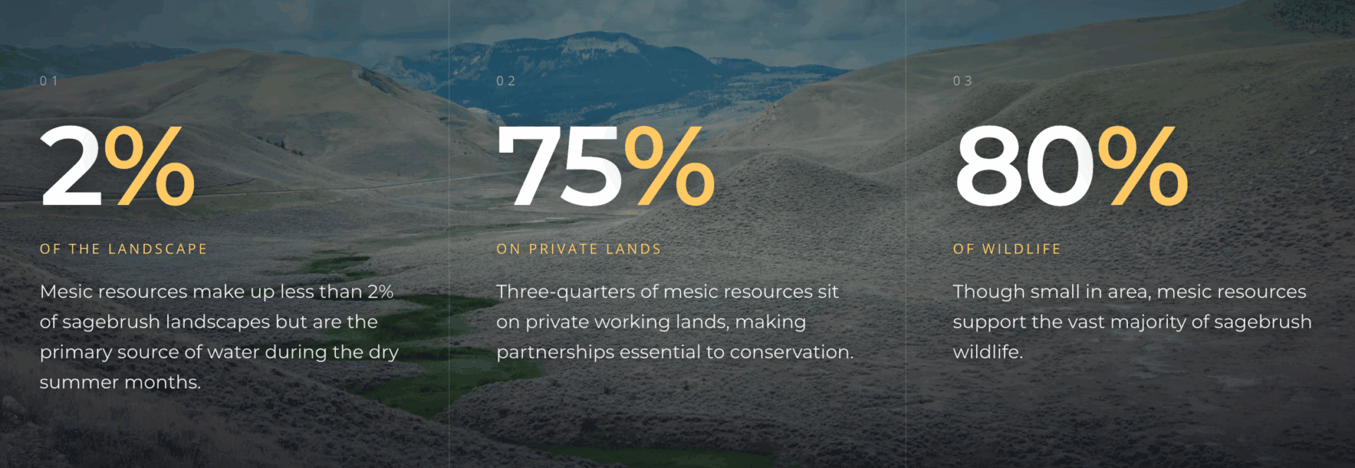
Water-rich places occupy less than 2% of the sagebrush biome. Yet wet places provide habitat and food for more than 80% of the biome’s wildlife, including at-risk species like sage grouse. Mesic resources also provide forage for cattle and sheep. Plus, green corridors can slow wildfires or serve as refuge during drought.
Mesic resources are sustained by snowmelt or groundwater that keeps soils moist and plants green through the hottest months of the year. These areas stay productive long after the uplands around them have turned brown.
“This tool could be transformative as we work to improve biodiversity across the West. It’s a tremendous asset as we try to prioritize across a vast landscape where there are seemingly endless opportunities to enhance degraded mesic resources, whether in our valley bottoms or in our uplands,” says Sean Claffey, conservation coordinator for Southwest Montana Sagebrush Partnership.
How the Mesic Analysis Platform Works
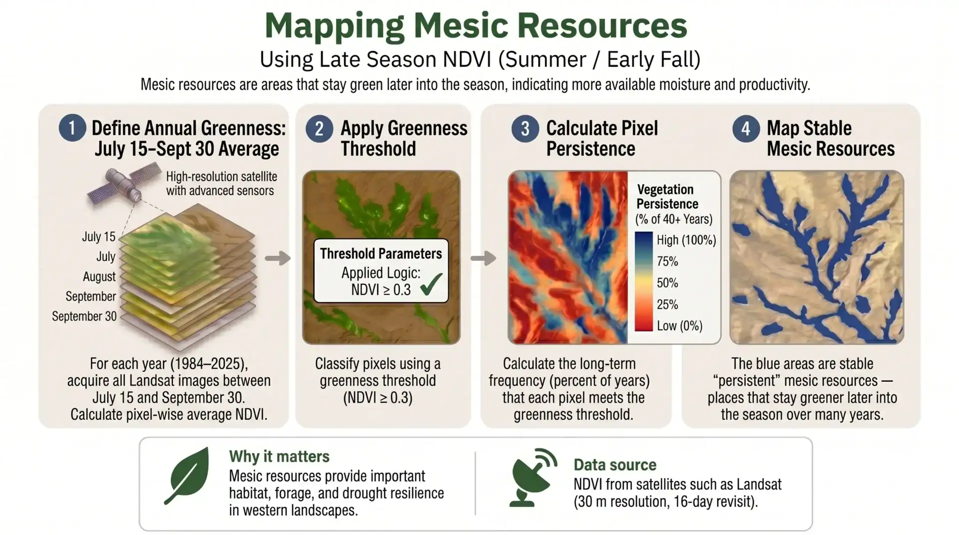
This free interactive mapping platform was designed by the University of Montana’s Working Lands for Wildlife science team. The MAP app combines 40+ years of satellite imagery with the Normalized Difference Vegetation Index (a measure of vegetation productivity) to show places with reliable moisture and persistent green plants.
Persistence matters: the platform shows durable mesic systems—places that stay green and productive year after year, even through drought—versus places that only green up in wet years.
“Finding the right place to do restoration or conservation work can be hard,” Morford says. “The hope is that the MAP tool helps people find those places worth investing in faster.”
The MAP app also integrates ecosystem data from the Sagebrush Conservation Design, drought history, land ownership, and site-specific field metrics to provide practitioners with actionable data.
The mesic resource information is displayed in an easy-to-use map format. The tool gives a clear picture of where mesic resources are on the sagebrush landscape and how they are faring.
“The tool allows you to go from 100 potential restoration locations to 10. Then you can go out and do field work to identify the best opportunities,” Morford says.
Fixing Streams And Meadows For More Reliable Water
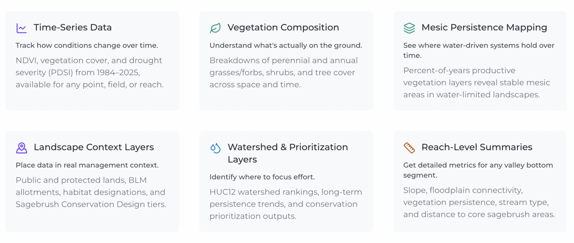
The app has three different options that allow users to evaluate landscapes at multiple scales—from mapping wet areas across entire watersheds down to identifying individual stream reaches in need of restoration.
The platform is particularly useful for prioritizing low-tech, low-cost restoration projects in smaller streams and riparian corridors. This approach is part of the USDA-NRCS Framework for Conservation Action in the Sagebrush Biome.
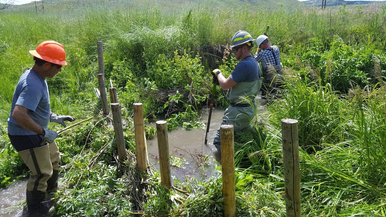
The goal is not to replace on-the-ground expertise, but to make the screening process faster and more efficient for conservation practitioners. The MAP app can help prioritize where to build beaver dam analogs or simple stick-and-stone structures that spread water across the landscape and store it longer into the dry season.
Built With Partners, For the People Conserving The West
The idea for developing the MAP app came from partners working in the sagebrush biome. Most existing conservation tools focused primarily on upland habitats while overlooking mesic habitats. Practitioners were looking for a tool to better identify and prioritize the wet places that drive ecosystem health and sustain wildlife populations.
Several groups also provided input during the app’s design and development, including the Southwest Montana Sagebrush Partnership and the Idaho Water for Working Landscapes Program.
“The Mesic Analysis Platform will be a valuable tool in developing watershed-scale plans through local mesic working groups across Idaho. It will assist us in project identification, acquiring necessary permits for restoration, and in monitoring outcomes,” says Josh White, a biologist with the US Fish & Wildlife Service Partners for Fish & Wildlife Program in Boise.
As researchers tested early MAP prototypes with conservation partners, one message kept surfacing: make it simpler. “Most of these types of tools have fairly steep learning curves, and we wanted to make that curve flat,” Morford says.
The result is a platform that’s accessible to everyone. Users can quickly zoom in and out of landscapes, click through layers to assess mesic conditions, and generate downloadable reports—all without any advanced technical expertise.
Data For Everyone From Ranchers To Birders to Biologists
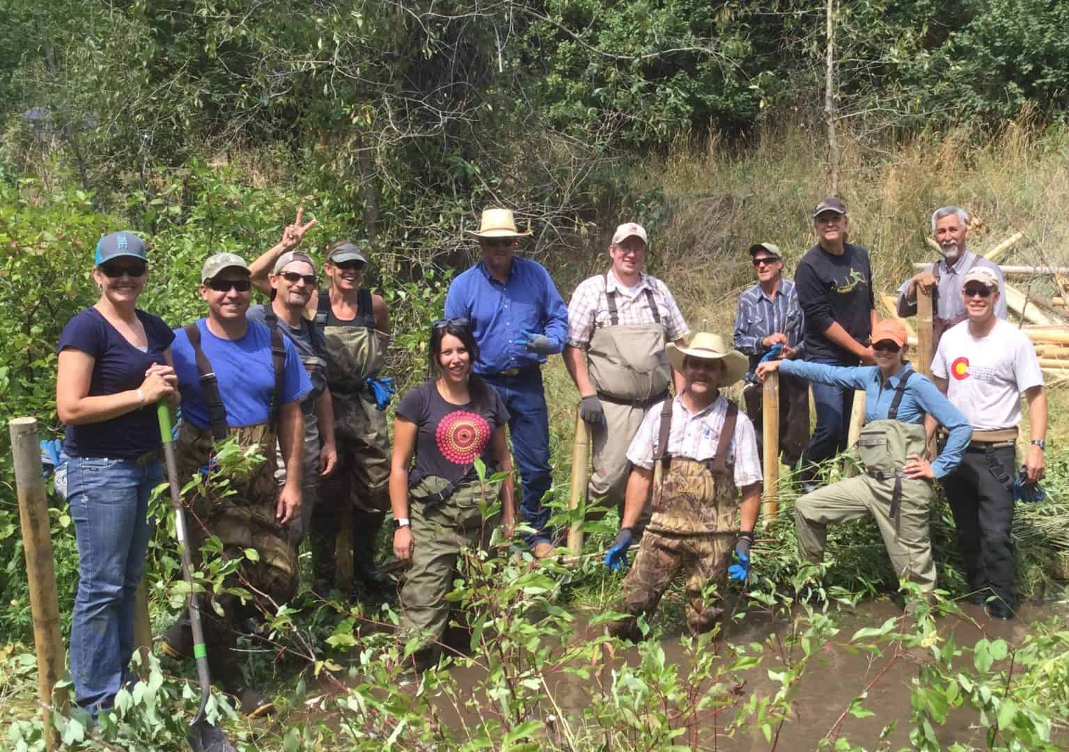
Ranchers can use the platform to identify productive grazing areas, make decisions on fencing or pasture rotation, and better understand how water is distributed across their property.
In addition to ranchers, the MAP app is also valuable for fisheries biologists, birders, wetland specialists, watershed managers, and wildlife conservation professionals working in the West.
The MAP tool was built by Kris Mueller, a mapping and applications engineer with the University of Montana. The visual layout for the MAP tool works well within the arid sagebrush biome, Mueller says, where bright green ribbons of mesic vegetation stand out clearly against surrounding dry landscapes.
“I really wanted to provide something useful for people doing ecosystem conservation and restoration, and for ranchers to be able to check the mesic resources on their land,” Mueller says. “These are the green resources that a lot of ranching communities rely on for grazing cattle during the dry summer.”
The University of Montana team may expand the MAP app into other dry biomes in the future, such as portions of the Southwest.
The Mesic Analysis Platform is a valuable tool for maintaining vital wet resources as water scarcity increasingly shapes the region’s future. The app allows people to quickly focus conservation efforts where they will have the greatest impact for providing reliable, productive green places long into the future.
Thank You, Partners!
Working Lands for Wildlife would like to thank the following partners for contributing to the development of the Mesic Analysis Platform:
- Bureau of Land Management – Montana/Dakotas
- Intermountain West Joint Venture
- USDA Natural Resources Conservation Service
- University of Montana