
Tools, Maps & Apps
Data at your fingertips to improve working lands and wildlife habitat.
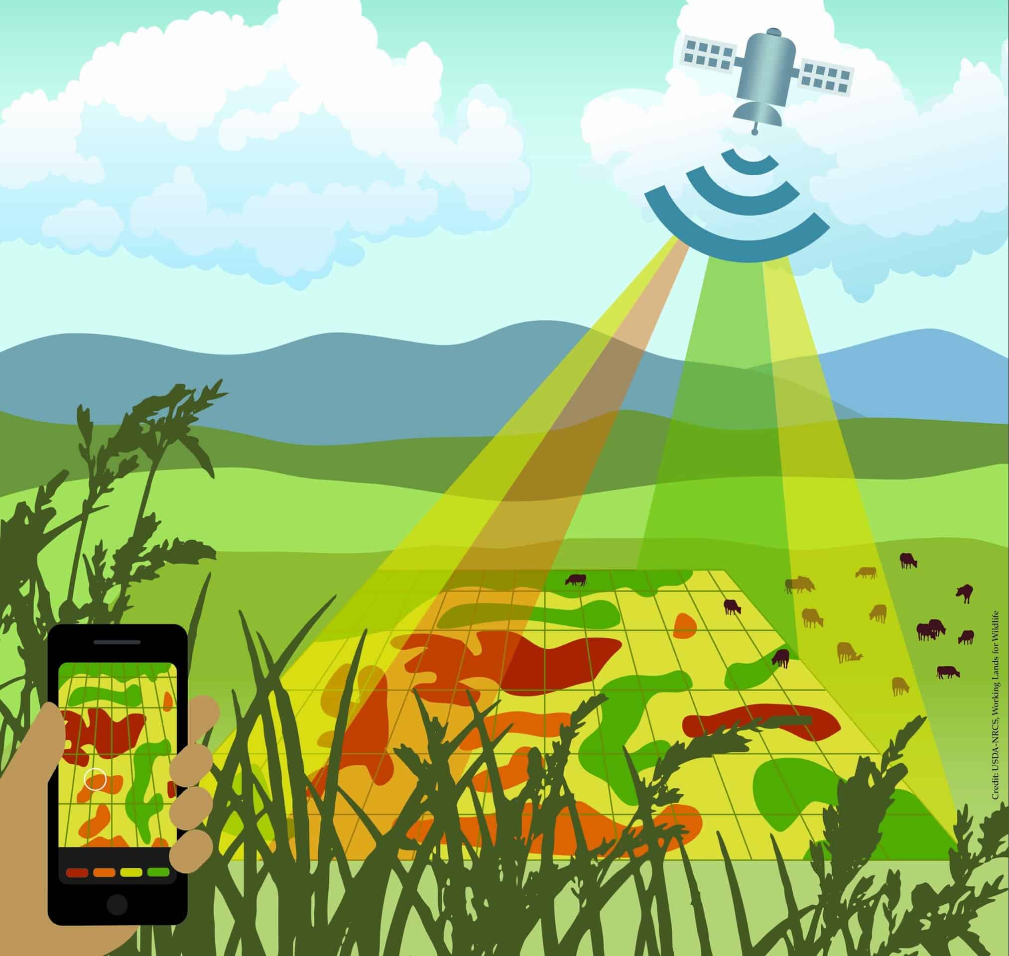
Fast, Free & Powerful: Apps for Western Rangelands
WLFW and our partners develop free conservation targeting products that help landowners, conservation groups, and resource managers quickly visualize and analyze how resources have changed across big landscapes or in small pastures.
These online tools use advanced spatial technologies that merge field-collected vegetation data, satellite imagery, and other environmental data. All datasets are backed by peer-reviewed science, allowing users to apply them with confidence.
The Rangeland Analysis Platform and its associated data products—maps, calculators, charts and more—can identify where landscapes are still intact, where they face threats, and how productivity has changed over time. The vegetation data goes back to 1984, covers all rangelands in the contiguous U.S., and is updated every 16 days.
Examples of how to use our RAP-based apps include:
- How many pounds of forage a rancher has lost due to encroaching trees
- Where an herbicide treatment might stem the spread of invasive cheatgrass
- How wet meadows, springs or creeks fare during drought years
- Where wildfires have the most probability of burning based on grass production

Landscape Explorer is an engaging, interactive map application that highlights how Western landscapes have changed over time. Users can zoom in to any location from the Great Plains to the Pacific Coast and easily swipe between historical imagery from the 1950s and modern imagery from 2014-2023. Landscape Explorer makes it easy to see how how our western landscapes have changed in the past 70 years. Specifically, the application highlights:
- How woody plants like eastern redcedar trees and pinyon-juniper trees have encroached on native rangeland;
- How expanding croplands are gobbling up wildlife habitat and prime grazing lands;
- How urban and suburban expansion is impacting the West's wide-open spaces.