Science
We make science actionable through research and technology that directs conservation investments to the places where they are needed most.
WLFW’s strategies for conserving at-risk landscapes and wildlife are informed by science. By relying on the latest research and technology, we can deliver the most effective and efficient on-the-ground solutions.
WLFW has a multi-disciplinary team of scientists based at universities around the country. These scientists collaborate closely with resource managers and landowners—the people who use the results—to design research projects, monitor conservation outcomes, and create decision-support tools.
By co-producing science, WLFW can tailor the right type of conservation practices to the right place. Plus, as research yields new insights, we’re able to change these practices to ensure they offer the most benefits for producers and wildlife.
"Working Lands for Wildlife creates a direct pipeline between science and on-the-ground conservation."


Peer-reviewed literature informs conservation delivery and helps measure the outcomes for people and wildlife.
WLFW’s team of scientists develops research questions that will further partners’ shared vision for healthy, productive working lands. Then scientists get to work evaluating threats to natural resources, or evaluating whether conservation practices are working to solve the problems. These peer-reviewed studies help prioritize where to work and also quantify the impact of dollars spent.
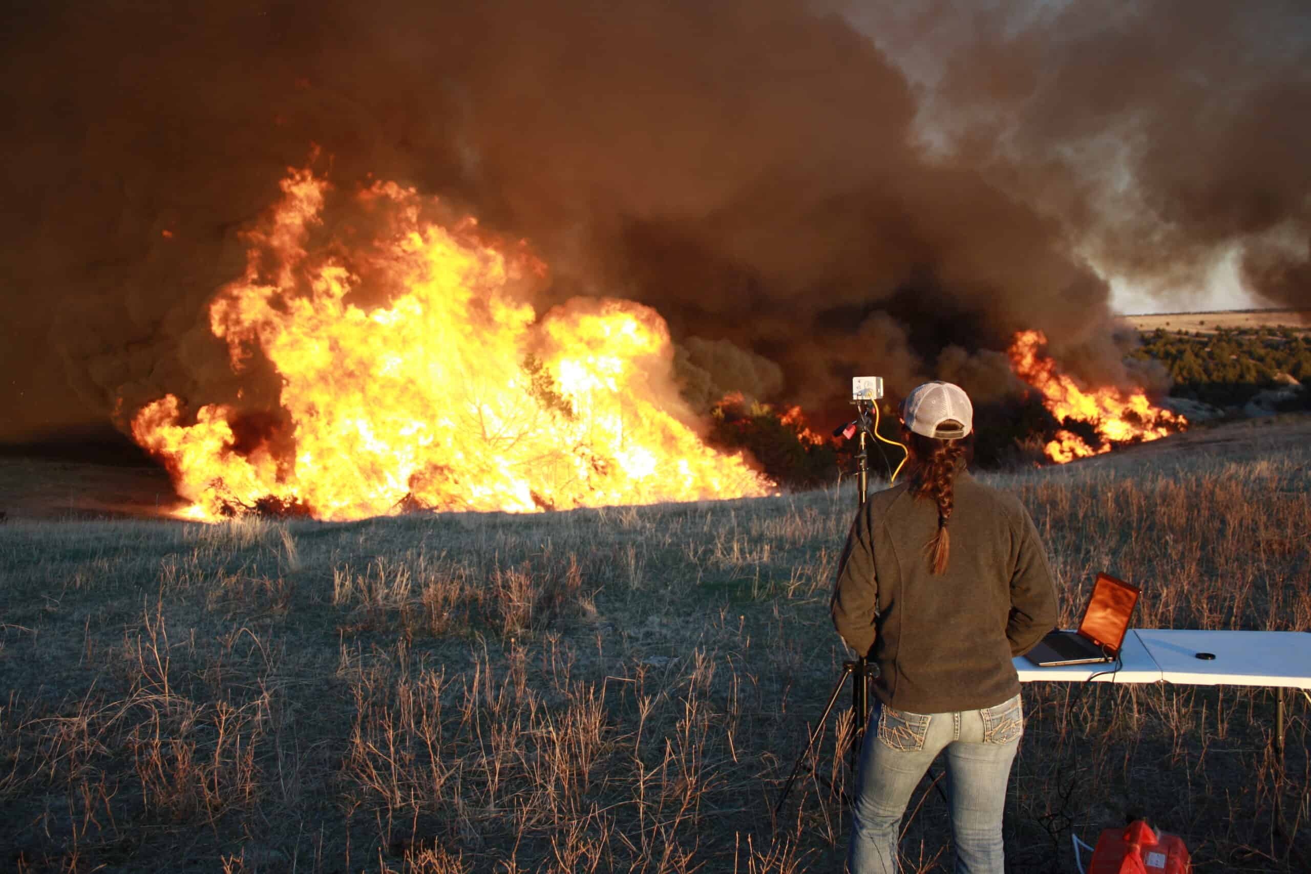
WLFW's team of researchers have published dozens of peer-reviewed papers about relevant conservation topics. Photo: Christine Bielski.
WLFW translates research into useful resources for people working on the ground.
We provide field guides, workshops, webinars, science summaries, how-to manuals, and more for biologists, rangeland managers, restoration ecologists, and others who carry out conservation. Our goal is to transfer the latest science and technology into easy-to-use information that readily supports the people taking action to keep landscapes healthy and intact.
Conservation science is most useful when it can put into on-the-ground action. WLFW's suite of practitioner-focused materials help make our science actionable.
Data at your fingertips—for free!—to improve working lands.
WLFW and our partners developed free conservation targeting products using advanced spatial technologies. Fast, powerful, and free, these online tools help practitioners quickly visualize and analyze vegetation data across big landscapes or in small pastures. These tools can identify where landscapes are still intact, where they face threats, and how the lands’ productivity has changed over time.

-
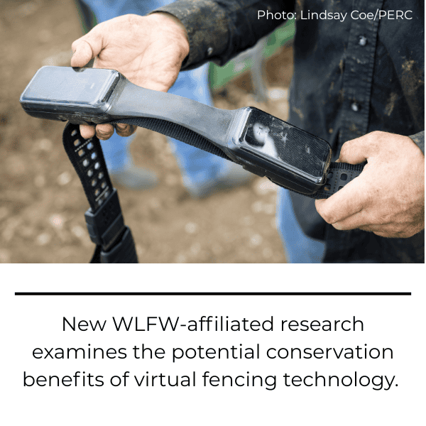
Virtual Fences, Actual Conservation
Virtual fencing technology holds significant promise for boosting conservation outcomes. New research explores these potential benefits.