Keeping Trees Where They Belong
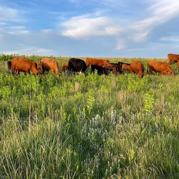
When trees like pinyon and juniper encroach into healthy sagebrush range, sage grouse, songbirds, and other wildlife suffer. We defend core sagebrush areas from encroachment and remove trees when opportunities present.
The Conifer Encroachment Education Project website provides a science-based resource to help people better understand the science and management around woodland encroachment in sagebrush ecosystems.
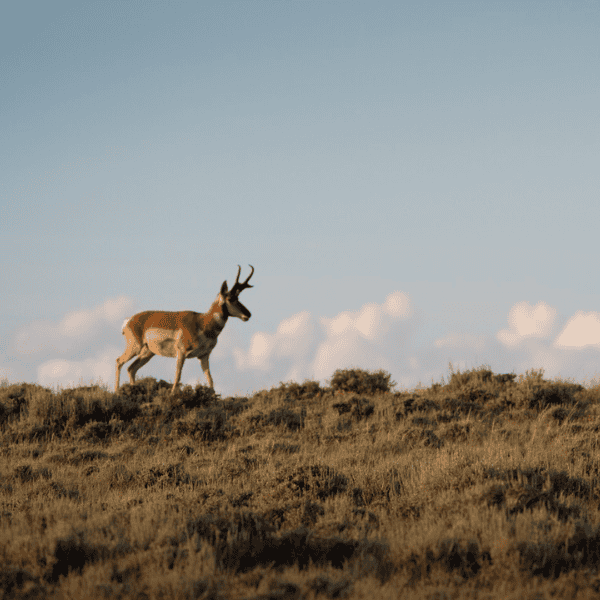
Sagebrush ecosystems across the West are struggling to thrive amidst numerous threats, and these ecosystems are critical for biodiversity, wildlife habitat, rural livelihoods, economies, and traditional uses. Alongside invasive annual grasses and land use conversion, tree expansion or encroachment into historic shrublands is among the primary threats to the sagebrush biome.
Resources for Download
"Reducing Conifer Encroachment in Western Rangelands" technical guide and pocket guide provide science-based tools needed to recognize early-stage conifer encroachment—an emerging threat in the Northern Great Plains—and offers proactive, region-specific detection, prioritization, and treatment approaches before ecosystem losses become costly or irreversible. Produced by the USDA-NRCS’s Working Lands for Wildlife (WLFW), the USDA-NRCS’s Central National Technology Support Center (CNTSC), and other conservation partners, the guides deliver sagebrush rangeland specific solutions to conifer encroachment.

This map depicts rangeland vulnerability to tree encroachment across the sagebrush biome, annually 1984-present. The categorical representation and color map is based on the Twidwell's 2022 "Vulnerability Guide."
Intact/green (0-1%); Dispersal/yellow (2-10%), Encroached/red (11-20%), and Forest/gray (>=21%). It can be used for identification of relatively treeless core areas for proactive management and to monitor effectiveness through time.
This map provides a tool for rapid risk assessment across the range of sage-grouse using an index of sagebrush ecosystem resilience to disturbance and resistance to cheatgrass (“R&R”). It was derived using soil temperature and moisture data to depict underlying abiotic conditions that influence R&R. It can be used to assess relative recovery potential after disturbance and inform the level of restoration intervention that may be needed.
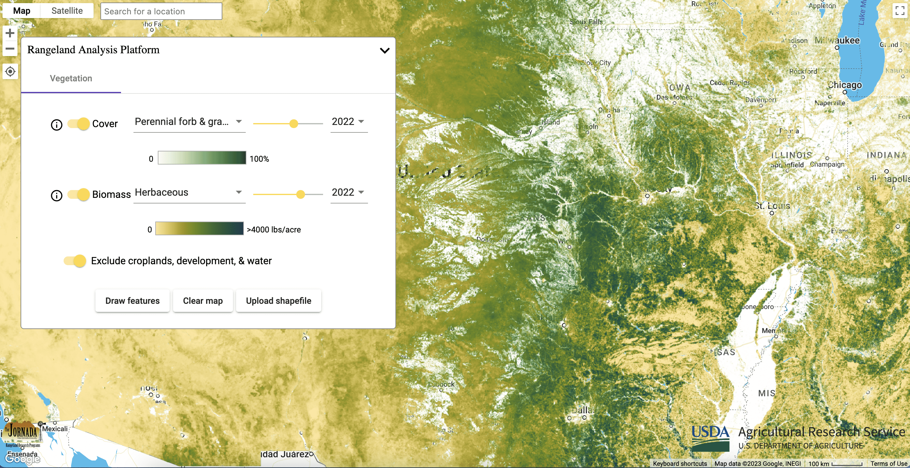
These maps provide annual percent cover estimates from 1984 to present of: annual forbs and grasses, perennial forbs and grasses, shrubs, trees, and bare ground. The data can be used to assess biotic conditions to inform management actions and monitor vegetation through time. Annual forb and grass maps provide a useful surrogate for exotic annuals, allowing managers to understand fluctuations through time and track management outcomes. Perennial forb and grass maps can help managers determine if restoration seeding is needed following disturbance or annual grass control.

These maps provide annual and 16-day aboveground biomass from 1986 to present of: annual forbs and grasses, perennial forbs and grasses, and herbaceous (combination of annual and perennial forbs and grasses). Estimates represent accumulated new biomass throughout the year or 16-day period and do not include biomass accumulation in previous years. The data can be used to assess fine fuels affecting fire cycles and forage availability. Annual forb and grass maps provide a useful surrogate for exotic annuals, allowing managers to understand fluctuations through time and track management outcomes.
-
Migratory Big Game Framework In Focus: Wildlife Conservation Through Sustainable Ranching
Learn more about WLFW’s new Migratory Big Game Framework for Conservation Action.