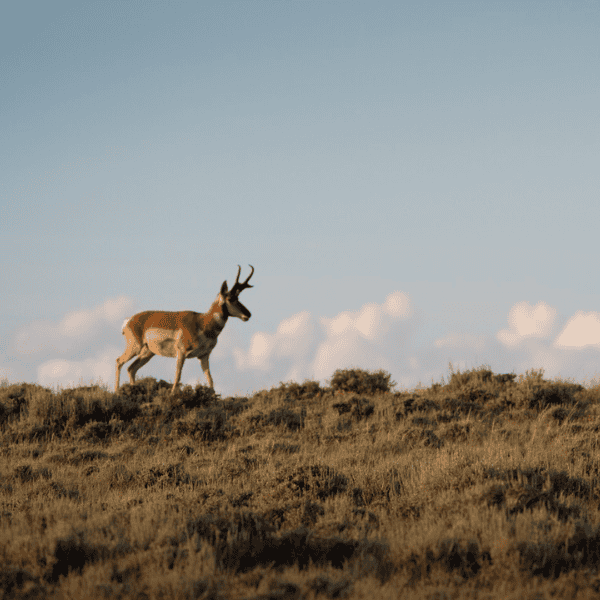
Photo: Christine Bielski
Keeping Trees Out of Grasslands
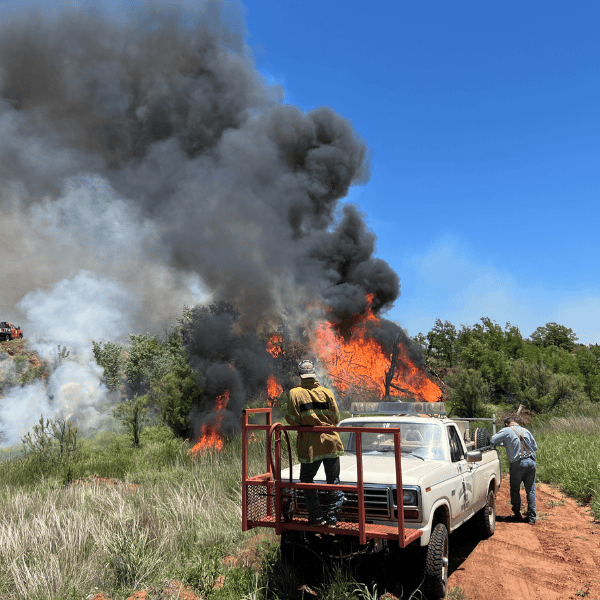
When woody plants move into grasslands, a host of negative consequences results. Defending intact grassland cores from encroachment is the most effective strategy for saving our precious grasslands.
Resources for Download
Reducing Woody Encroachment in Grasslands: A Guide to Risk and Vulnerability, produced through a partnership between public university extension programs in the Great Plains, the USDA-NRCS’s Working Lands for Wildlife (WLFW), the USDA-NRCS’s Central National Technology Support Center (CNTSC), and various other conservation partners, provides the first-ever framework for addressing woody encroachment, now recognized as one of the top two drivers of grassland loss in the Great Plains.
The 'Vulnerability Guide' was followed by the Reducing Woody Encroachment in Grasslands: A Pocket Guide for Planning and Design which details conservation planning guidelines for reducing woody encroachment in grasslands. It was co-produced by the Great Plains Extension Partnership and WLFW.


This map depicts categorical tree cover classes across the Great Plains biome, annually 1984-present. Class categorization was performed with the RAP vegetation cover product at 480m resolution which mirrors the size of many projects in the region and corresponds with thresholds of known declines in prairie chicken populations. Data represents tree canopy cover in the following classes: 0-4% and >=5%. It can be used for identification of relatively treeless core areas for proactive management and to monitor effectiveness through time.
This map depicts vegetation transitions to trees in the Great Plains biome at two scales: broad and moderate (visualization changes upon zooming). It can be used as an early warning for the loss of resilience to woody expansion within intact but vulnerable grassland cores. The data provides opportunities to adapt management strategies and actions before intact grasslands become compromised and require more expensive rehabilitation. Transition maps, when combined with expert knowledge and other field inventory/remote sensing products, enable more proactive management to get ahead of large-scale vegetation change.
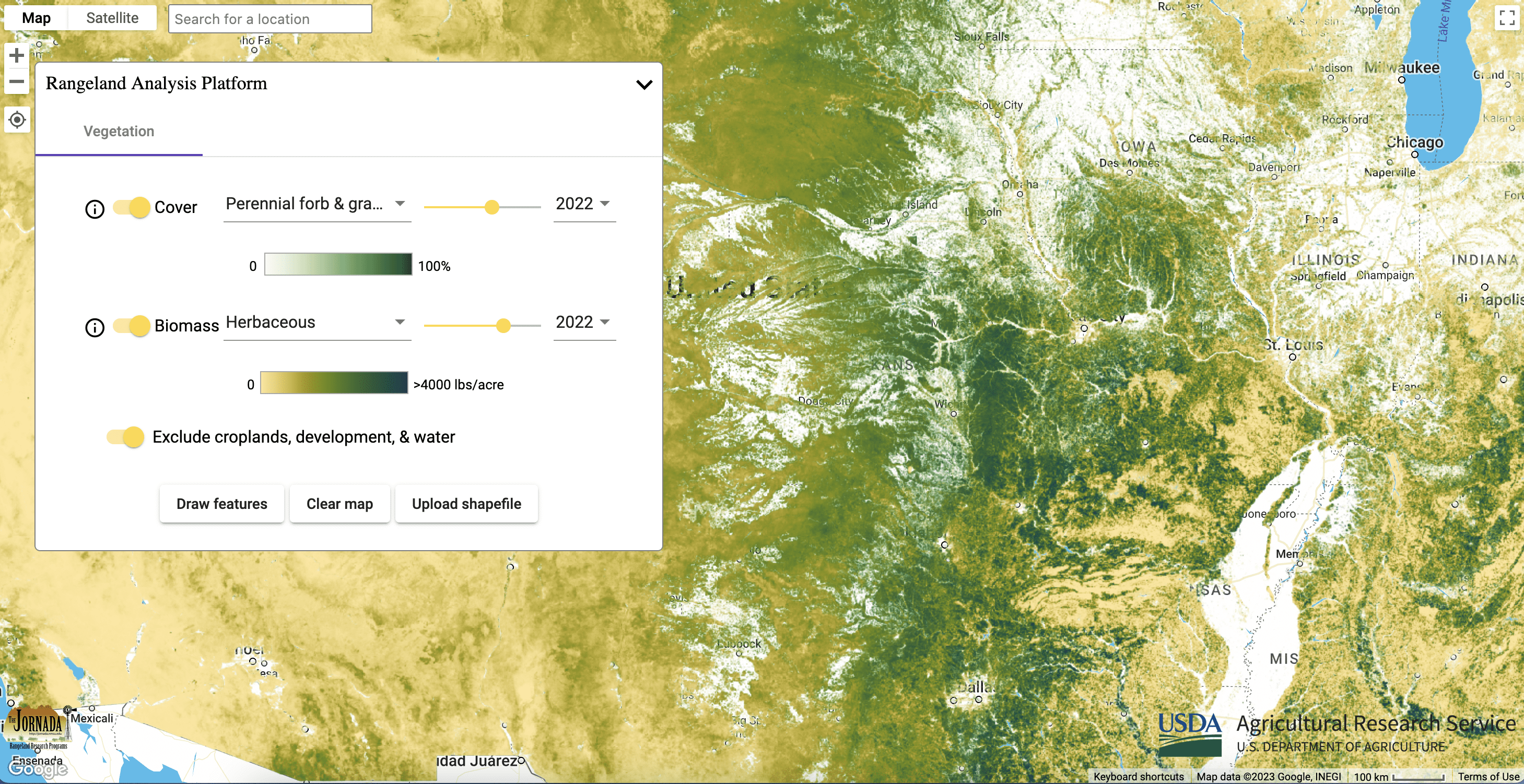
These maps provide annual percent cover estimates from 1984 to present of: annual forbs and grasses, perennial forbs and grasses, shrubs, trees, and bare ground. The data can be used to assess biotic conditions to inform management actions and monitor vegetation through time. Tree maps provide a continuous cover estimate to support site inventory and monitoring before and after management.

These maps provide annual and 16-day aboveground biomass from 1986 to present of: annual forbs and grasses, perennial forbs and grasses, and herbaceous (combination of annual and perennial forbs and grasses). Estimates represent accumulated new biomass throughout the year or 16-day period and do not include biomass accumulation in previous years. The data can be used to monitor herbaceous biomass change over time, assess herbaceous biomass (forage) loss to woodland expansion, and its recovery following woody plant removal.


-
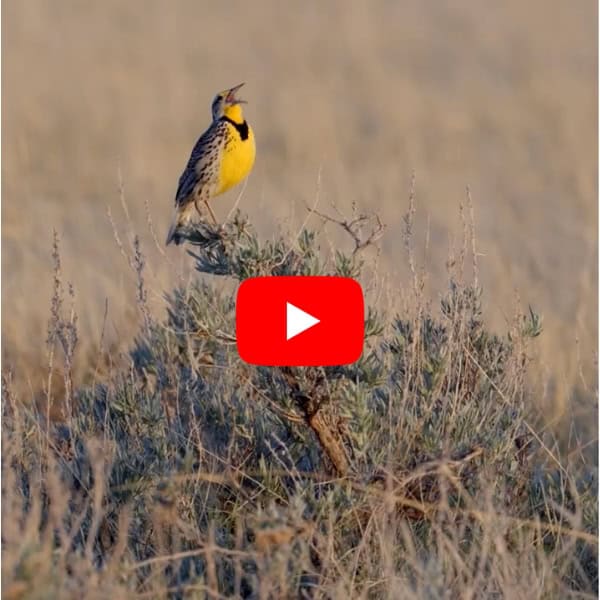
New Video Shows An Overlooked Threat to Grasslands And Shrublands
A six-minute film produced by the Cornell Lab of Ornithology shines a spotlight on an existential threat to some of the last, great grass and shrublands on Earth: woody encroachment.