Photo: Martin Townsend
Keeping Rangelands Green Side Up
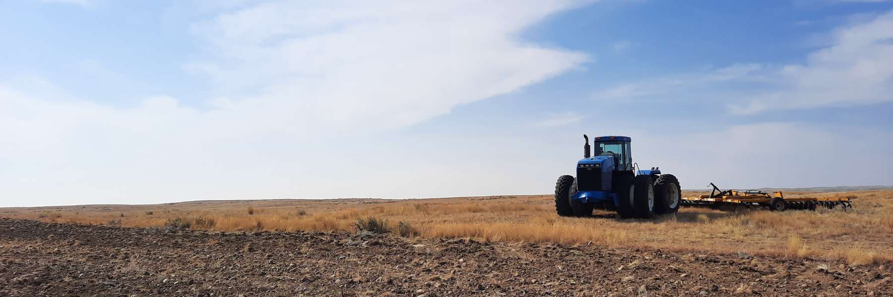
Continued development of native sagebrush rangeland fragments habitat, reduces carbon storage, and is nearly impossible to reverse.
Conversion of rangeland to crops and the growth of new housing developments destroy grazing lands and fragment previously intact sagebrush landscapes. WLFW’s Framework seeks to avoid further land use conversion within sagebrush cores and restore former croplands to productive rangelands.
WLFW’s approach for tackling this threat emphasizes proactive easement acquisition, transitioning of expiring CRP to grazing lands, and revegetating previously cultivated lands in otherwise intact landscapes that are at-risk of cultivation or development.
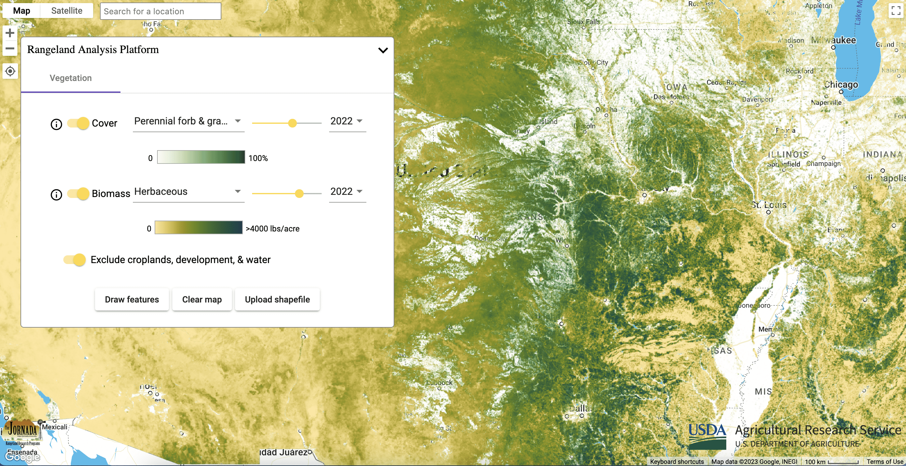
This map depicts the probability of cultivation relative to climate, temperature, growing season, soils, and topography. Data are available only for the eastern portion of the sagebrush biome where cultivation risk is highest. It was derived using various datasets, including regional climate data, USDA NRCS SSURGO, and USDA NASS Cropland Data Layer. It can be used to identify intact grasslands and CRP at risk of cultivation.
These maps provide annual percent cover estimates from 1984 to present of: annual forbs and grasses, perennial forbs and grasses, shrubs, trees, and bare ground. The data can be used to assess biotic conditions to inform management actions and monitor vegetation through time. Annual forb and grass maps provide a useful surrogate for exotic annuals, allowing managers to understand fluctuations through time and track management outcomes. Perennial forb and grass maps can help managers determine if restoration seeding is needed following disturbance or annual grass control.

These maps provide annual and 16-day aboveground biomass from 1986 to present of: annual forbs and grasses, perennial forbs and grasses, and herbaceous (combination of annual and perennial forbs and grasses). Estimates represent accumulated new biomass throughout the year or 16-day period and do not include biomass accumulation in previous years. The data can be used to assess fine fuels affecting fire cycles and forage availability. Annual forb and grass maps provide a useful surrogate for exotic annuals, allowing managers to understand fluctuations through time and track management outcomes.
-
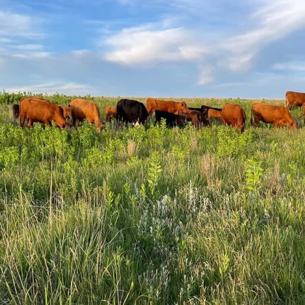
Migratory Big Game Framework In Focus: Wildlife Conservation Through Sustainable Ranching
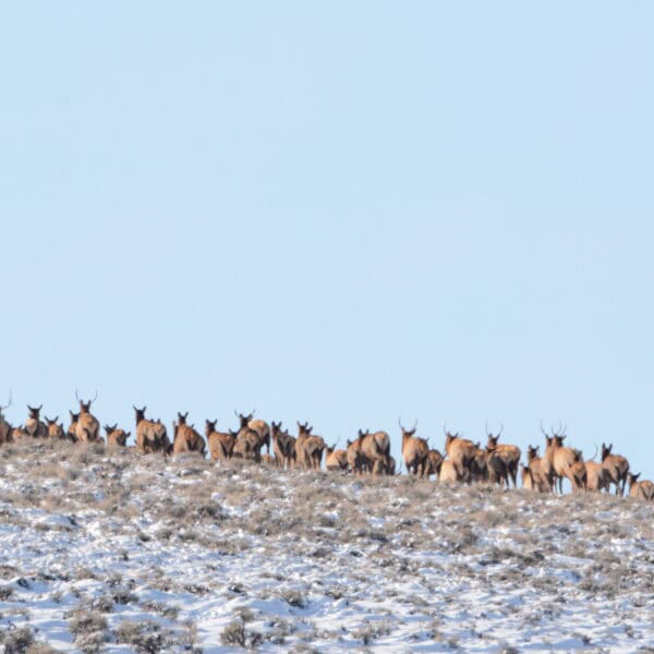
Learn more about WLFW’s new Migratory Big Game Framework for Conservation Action.