Photo: Justin Fritcher, NRCS
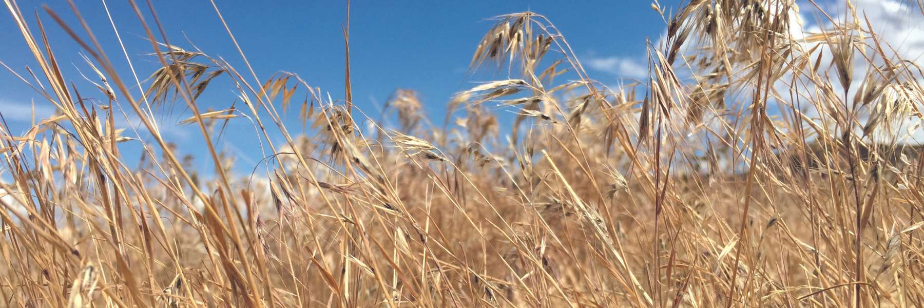
Preventing Sagebrush Range from Getting Cheated
Invasive and exotic annual grasses like cheatgrass, medusahead, and ventenata are best prevented from the start, which is why we defend core sagebrush range through proactive conservation.
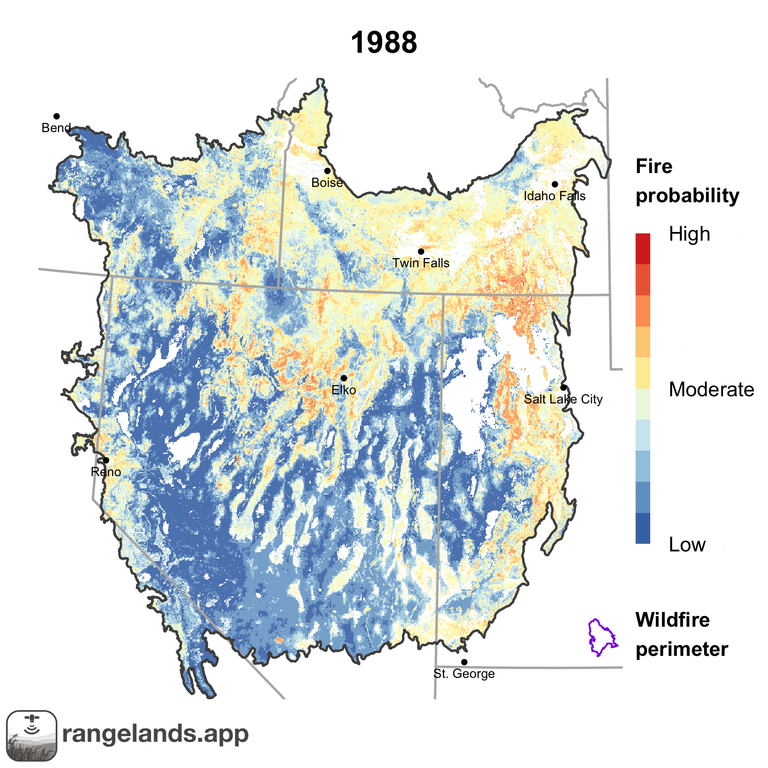
Rangleand fires are getting larger and more severe. A new tool, developed by WLFW-affiliated researchers, highlights the probability of fires in the Great Basin in advance of each fire season, helping managers be better prepared should a blaze break out.
The NRCS in Idaho and Wyoming are taking a proactive, strategic approach to combat invasive cheatgrass and other annual grasses. By focusing on defending intact sagebrush cores that are relatively free from invading annual grasses and then growing those cores, partners are working across boundaries and land ownerships to maintain and expand healthy, resilient sagebrush range.
This map depicts the estimated percent cover of herbaceous annuals on rangelands across the sagebrush biome. It was derived by combining three large-scale datasets to provide land managers a recent estimate of the extent of invasive annuals. It can be used for identification of relatively uninvaded core areas for proactive management.
This map provides a tool for rapid risk assessment across sage grouse range using an index of sagebrush ecosystem resilience to disturbance and resistance to cheatgrass (“R&R”). It was derived using soil temperature and moisture data to depict underlying abiotic conditions that influence R&R. It can be used to assess relative recovery potential after disturbance and inform the level of restoration intervention that may be needed.
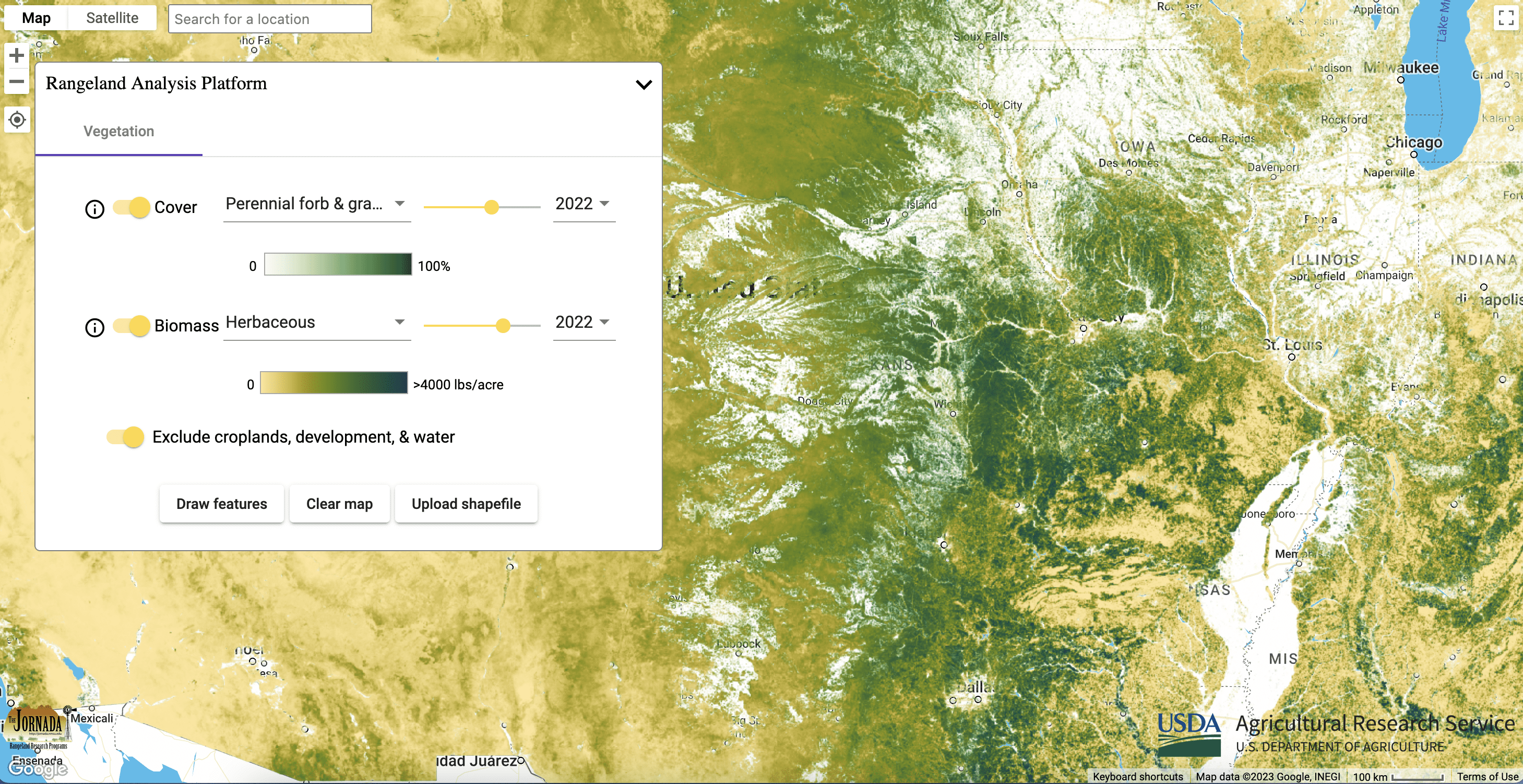
These maps provide annual percent cover estimates from 1984 to present of: annual forbs and grasses, perennial forbs and grasses, shrubs, trees, and bare ground. The data can be used to assess biotic conditions to inform management actions and monitor vegetation through time. Annual forb and grass maps provide a useful surrogate for exotic annuals, allowing managers to understand fluctuations through time and track management outcomes. Perennial forb and grass maps can help managers determine if restoration seeding is needed following disturbance or annual grass control.

These maps provide annual and 16-day aboveground biomass from 1986 to present of: annual forbs and grasses, perennial forbs and grasses, and herbaceous (combination of annual and perennial forbs and grasses). Estimates represent accumulated new biomass throughout the year or 16-day period and do not include biomass accumulation in previous years. The data can be used to assess fine fuels affecting fire cycles and forage availability. Annual forb and grass maps provide a useful surrogate for exotic annuals, allowing managers to understand fluctuations through time and track management outcomes.
-
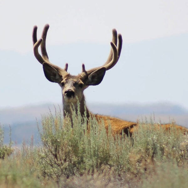
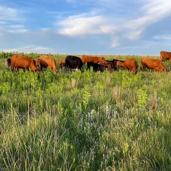
Migratory Big Game Framework In Focus: Wildlife Conservation Through Sustainable Ranching
Learn more about WLFW’s new Migratory Big Game Framework for Conservation Action.