
Ask an Expert
What’s The Probability Of A Rangeland Fire In The Great Basin In 2026?
The forecast for large rangeland fires in 2026 is moderate or low for many parts of the Great Basin. Annual fire probability maps help people prepare for wildfire season in parts of Oregon, Nevada, Idaho, Utah and California.

Kansas Grasslands At A Crossroads: Ranchers Help Chart Path Forward
February 17, 2026
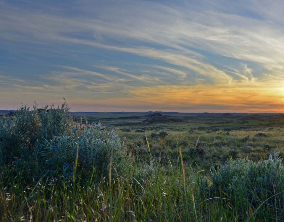
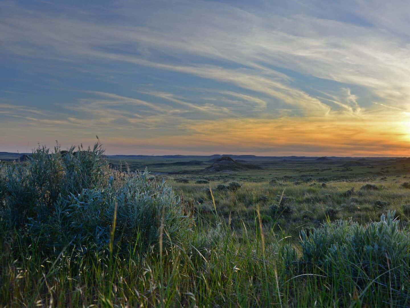
In South Dakota, A Young Couple Focuses on Their Ranch’s Primary Asset: Grass
March 19, 2026


Forecast Map Helps Communities Prepare For Wildfire
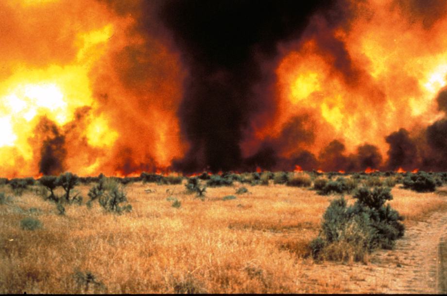
| Each March, the USDA’s Agricultural Research Service and Working Lands for Wildlife release the Great Basin Rangeland Fire Probability Map to forecast the likelihood of a large (> 1,000 acres) fire in this arid sagebrush region. The outlook for severe fires in 2026 is shown in the map to the left. “It’s looking like we’re back in safer territory in 2026, other than the hotspot in eastern Oregon,” says Joe Smith, the Working Lands for Wildlife researcher who designed and updates the map. The Great Basin covers most of Nevada and parts of Utah, Oregon, California, and Idaho. When large wildfires engulf thousands of acres in this part of the sagebrush biome, it affects wildlife, water resources, recreation, livestock production, and communities. Unlike forest fires, rangeland fires can be predicted in part by the amount of fuel — like grasses — that grew the previous year. Rangeland fire severity is also dependent on whether a human or natural ignition occurs, as well as local topography and weather patterns. The annual forecast map gives land managers and firefighters the power to prepare ahead of the upcoming fire season. This can reduce the harm caused by large rangeland wildfires in the Great Basin. Read the following Q+A with Working Lands for Wildlife experts to learn more. |
Have Wildfires Changed Over The Last Few Decades?
Jeremy Maestas, Sagebrush Ecosystem Specialist, USDA-NRCS: When people think of fire, they tend to think of forest fires. But in the U.S., more acres burned in rangelands than in forests in recent years — and most of those rangeland fires are in the Great Basin, which holds one of the largest expanses of sagebrush left on the continent.
Joe Smith, Working Lands for Wildlife Researcher, University of Montana: Rangeland fires are also getting bigger. Data shows the 12 largest fires on record in the Great Basin occurred since 2000, and 8 of those occurred since 2010. If we don’t focus on rangeland fire and only focus on forest fires, we’re only addressing one-half of the problem.
How Do Large Fires Impact Sagebrush Rangelands?

Smith: Sagebrush country isn’t adapted to withstand fires like many forests are. When sagebrush is killed by fire, the plants may be lost for a long time. That’s because sagebrush can only re-establish by seeds blown from nearby plants. If all the sagebrush in an area burns, no seeds are left to repopulate the range.
Plus, the Great Basin is vulnerable to invasive species, like cheatgrass, that quickly takes over post-fire, disrupting the natural recovery processes.
Maestas: Not all fire is bad, even in sagebrush range. But when you lose hundreds of thousands of acres of sagebrush habitat in a matter of days, and you have invasive annual grasses just waiting in the wings to grow after a fire comes through, it might take a landscape 100 years or more to recover — if they recover at all.
Invasive annual grasses are a game-changer. We don’t have the luxury of just letting fires burn in the Great Basin’s sagebrush ecosystems, even when they’re not threatening infrastructure.
How Do Fires Spread In Sagebrush?
Smith: Sagebrush rangelands are fuel-limited systems. They have less vegetation to burn than in a forest — and the amount of fuel (grasses, wildflowers and shrubs) varies each year depending on rainfall. Plus, if there’s more bare ground between plants, that makes it harder for a fire to spread.
For a large fire, 1,000 acres or greater, there must be enough fuel continuity to carry that fire across the landscape.
Research has shown that wet years create flushes of vegetation on rangelands that lead to more fire the following year. Essentially, it’s the previous year’s vegetation accumulation that drives the risk of large fires.

How Is The Fire Probability Map Created?
Smith: To forecast where we might see large fires in a given year, I developed a model that combines fine-scale vegetation data from the Rangeland Analysis Platform (RAP) with historic fire data and weather data. We update the map each March in advance of the fire season to predict the likelihood of large fires across the Great Basin.
Maestas: These maps are cool because they essentially model suitable “habitat” for a large rangeland wildfire, based on how wet the landscape was the previous year. It’s a clever way to get at the challenge or predicting how bad rangelands fires might be.

How Does The Map Prepare People For Fires?
Maestas: Fire behavior is influenced by three factors: topography, weather, and fuel. We can’t manage topography or the weather — but we can manage the fine fuels that spread rangeland fires. That is huge.
Fire probability maps help prioritize where to use targeted grazing, fuel breaks, or cheatgrass treatments to reduce rangeland fuels.
A pre-season fire probability map helps pinpoint where to line up firefighting resources and position them where fire risk is highest. Public land managers could also consider fire restrictions in high-risk areas to reduce the likelihood of human-caused ignitions.
Implementing the right actions in the right places at the right time lowers our odds of losing more sagebrush rangelands to fire.
