New Technology For Landowners And Resource Managers Revolutionizes Rangeland Monitoring
by Justin Fritscher, NRCS | New free app provides the first-ever vegetation cover maps for rangelands from the Great Plains to the Pacific Ocean.

WEBINAR | Rangeland Analysis Platform: Introducing a free, online tool to help manage and monitor western rangelands
September 12, 2018
NEW SCIENCE | Middle Ground Found On The Range
September 27, 2018

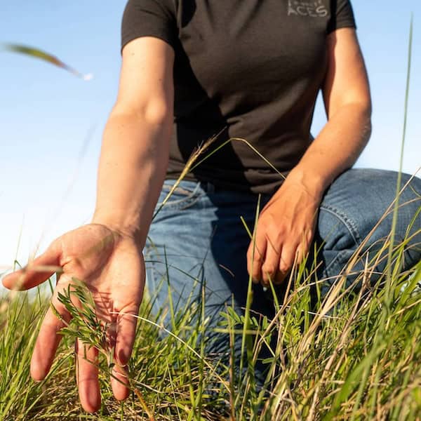
Brady Allred of University of Montana created the app, and says the online platform provides the first-ever annual vegetation cover maps, which are designed to help improve America’s rangelands.
New free app monitors rangeland conditions across Great Plains & U.S. West
Watch this RAP demonstration webinar
By Justin Fritscher, for the USDA Blog

RAP is a free web app that shows changes in range vegetation cover over both time and space.
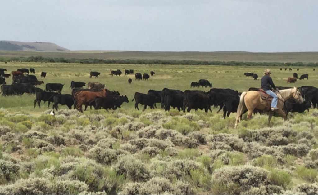
America’s vast western grazing lands produce food for the nation, recreation revenues for local communities, and habitat for wildlife. Producers often manage large swaths of rangelands, making it a challenge to track how vegetation has fared over time.
To meet this challenge, the Rangeland Analysis Platform (RAP) provides the first-ever vegetation cover maps for rangelands from the Great Plains to the Pacific Ocean.
Created by the University of Montana in partnership with USDA and U.S. Department of Interior (DOI), this easy-to-use technology provides trends in rangeland resources from 1984 to present at the ranch, county, and watershed scales.
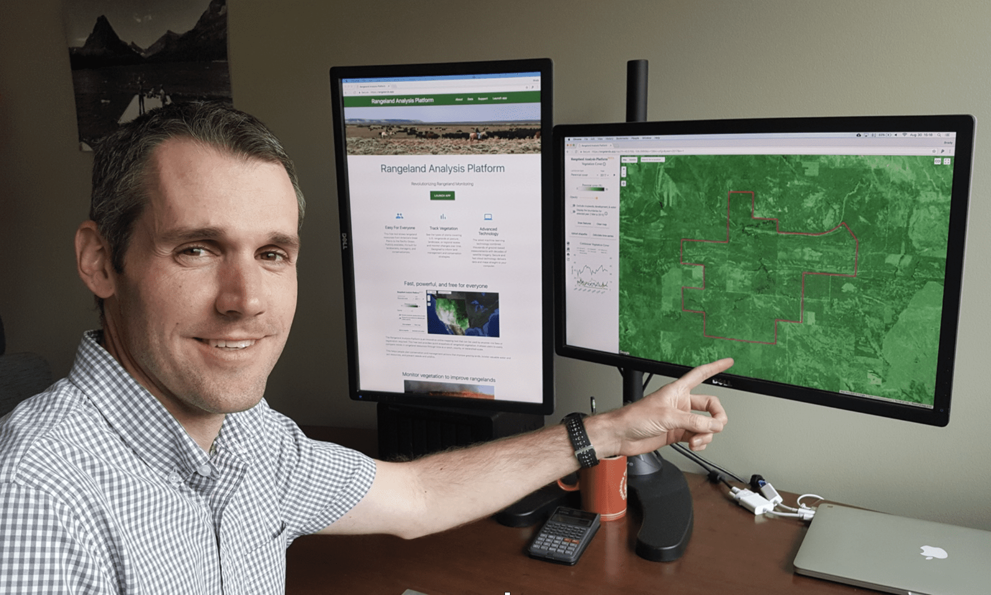
“I’ve waited my whole career for this kind of tool,” says Shane Green, USDA Natural Resources Conservation Service (NRCS) range management specialist in Utah. “It provides the context for landscape planning that’s been lacking in the rangeland profession.”
Shane Green, a range management specialist with NRCS in Utah, said this app will better equip him to work with ranchers on planning and implementing conservation practices on rangelands. Photo by Donny Peterson.
The RAP revolutionizes monitoring because it provides a view of rangeland resources at an unprecedented blend of time, space, and scale. This is accomplished through field data, satellite imagery, and the cloud-based computing power of Google Earth Engine.
“By working with Google, we harnessed decades of satellite imagery, trained it with on-the-ground field data, and put it at the fingertips of practitioners,” said Brady Allred, the app’s creator and professor of rangeland ecology at the University of Montana.
The app relies on over 30,000 field plots collected by NRCS’ National Resources Inventory and the Bureau of Land Management’s Assessment, Inventory, and Monitoring datasets. The maps and charts produced by RAP, coupled with site-specific knowledge, provide a powerful tool for improving grazing land resources.
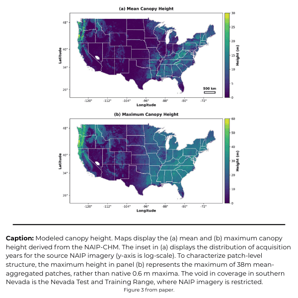
Plants provide the foundation of both profitable livestock operations and productive wildlife habitat. New monitoring capabilities help improve rangeland plants. Photo: Mandi Hirsch
Green added: “Tracking changes in vegetation across entire ranches for the past 30 years gives me a new perspective of what is happening. I no longer have to rely on small sporadic snap shots.”
Spanning the entire west, the RAP encompasses regional differences. For example, the app can identify where to reduce woody encroachment in the Great Plains, evaluate effectiveness of cheatgrass treatments in the Great Basin, and help people visualize the impacts of drought across the Southwest.
“Alongside information collected on the ground, the platform’s aerial view of vegetation through time opens new doors for conservation and scientific monitoring,” said Jeremy Maestas, an ecologist with NRCS. “This app empowers ranchers and resource managers to plan actions that improve rangelands.”
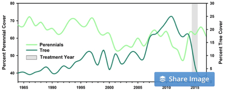
This graph, produced by RAP, illustrates how vegetation responded to a prescribed fire in Nebraska in 2015, which was designed to remove encroaching conifers to improve forage for livestock and wildlife. It shows that average tree cover decreased from 18% to 2% post-fire, making more room for perennial grasses and forbs.
This new technology helps NRCS meet its goals for partnering with private landowners to conserve rangelands. Since 2010, NRCS Working Lands for Wildlife has helped over 2,000 ranchers restore and protect more than 7.5 million acres of grazing lands.
The app is available for free at https://rangelands.app/.