New Science to Solutions Report: High-Resolution Maps Sharpen Focus On Sage Grouse Habitat
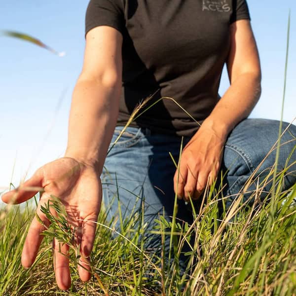
This new Science to Solutions report explains how a new technique called Earth Sense Technology (EST) is a cost-effective way to assesses range conditions throughout the West, and how it can help manage vegetation for the benefit of sage grouse and livestock.
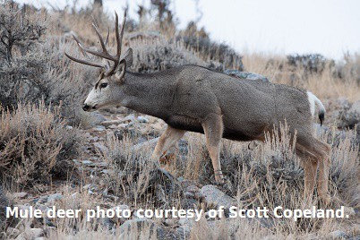
New SGI Science to Solutions Report: Sage Grouse Conservation Benefits Migratory Mule Deer
March 31, 2015
Unprecedented Conservation Partnership Keeps Bi-State Sage Grouse Off Endangered Species List
April 21, 2015
NEW REPORT! Science to Solutions: High-Res Maps Sharpen Focus On Sage Grouse Habitat
This new Science to Solutions publication is the 7th in the series featured on the SGI website.
Click here to download the high resolution PDF.
Click here for the low resolution PDF.
For Immediate Release:
A new Science to Solutions report explains how an emerging technology can help managers assess vegetation for the benefit of sage grouse and livestock. A new technique called Earth Sense Technology (EST) is an efficient way to assess range conditions at a large or small scale by using high-res photos and satellite imagery.
The NRCS-led Sage Grouse Initiative and the BLM have used EST to map rangeland cover on nine sage grouse-related projects totaling six million acres in four western states. For instance, in Montana, SGI has mapped 500,000 acres to evaluate grazing strategies to benefit sage grouse and livestock.
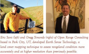
 This mapping tool allows managers to better see, quantify, and understand the big picture of how grouse choose seasonal habitats. “We are using these photos to assess percent ground cover at a very fine scale,” explains Eric Sant, Geospatial Analyst with Open Range Consulting, Inc. (ORC), the group that developed EST. “They are legacy images—you can go back to a photo and reinterpret it for plant species, or to compare to later images for changes over time.”
This new technique combines ground-based, high-resolution photo plots with aerial and satellite imagery to create cover maps that deliver spatial data with great detail and accuracy. “If we combine these maps with sage grouse telemetry data, we can start making assessments at different scales,” suggests Sant. EST provides context for landscape-scale habitat patterns, as well as fine-scale characteristics at a nest or brood-rearing site.
ORC estimates that a range assessment using this EST technique costs a fraction of assessments that use more time-intensive, traditional field methods. Because the process of acquiring GBVP photo plots is relatively low cost, very large areas can be sampled and interpreted efficiently.
 Contacts:
David Naugle, SGI Science Advisor & University of Montana: [email protected], (406) 240-0113
Eric D. Sant, RSGIS Specialist, Open Range Consulting: [email protected], (435) 647-9134