Western Working Lands Snapshot | Great Basin
Learn about the topography, natural history, and communities in the Great Basin. This spectacular swath of arid rangeland covers parts of Nevada, Idaho, California, Utah, and Oregon.
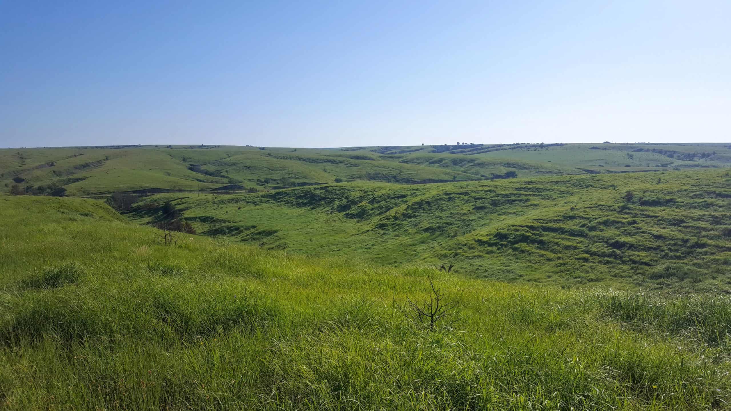
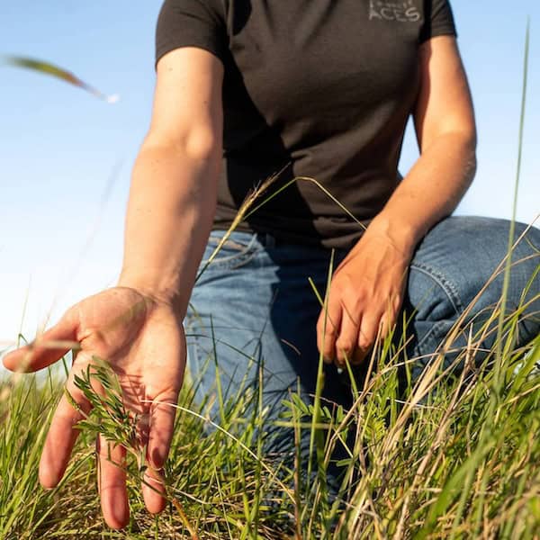
The Last Continuous Grasslands on Earth
December 8, 2024
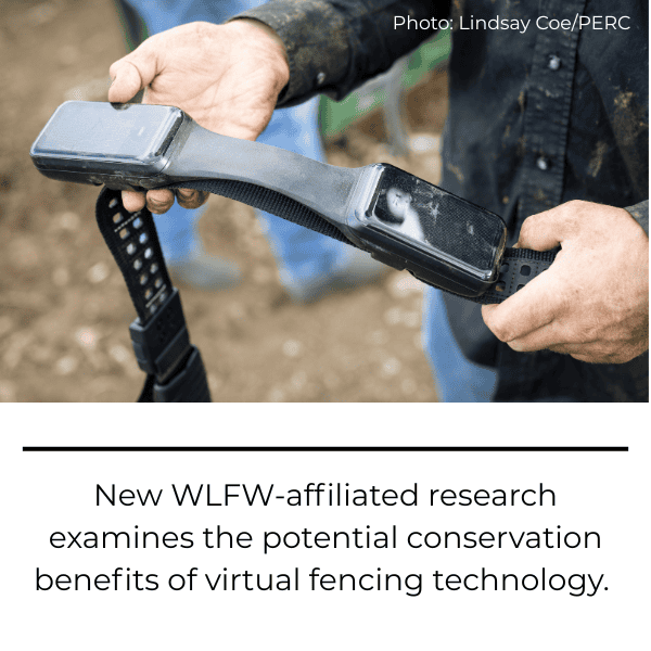
Podcast: Ranchers Stewardship Alliance – Martin Townsend and David Naugle
December 10, 2024What Is The Great Basin?

The Great Basin is a desert landscape that covers 200,000 square miles of the western United States.
This arid region is defined by a unique hydrological feature: all of the water that falls as rain or snow drains into terminal lakes or seeps underground. None of the rivers, streams or lakes in the Great Basin drain out into the ocean.
Notable Landmarks
The Great Basin is larger than most countries. It spans most of Nevada, as well as portions of Oregon, Idaho, Utah, and California.
While many people picture a vast desert, the Great Basin is a beautiful and varied landscape. It has dramatic mountains, healthy woodlands, and life-giving wetlands.
To the east, the Great Basin is bordered by the Wasatch Mountains, while the the Sierra Nevada and Cascade ranges form its western border. It includes the Snake River Basin in the north and the Mojave Desert in the south, along with these remarkable natural landmarks:
- Lowest point in North America: Badwater Basin in Death Valley at 282 feet below sea level.
- Highest point in the contiguous United States: Mount Whitney in the Sierra Nevada at 14,505 feet above sea level.
- Largest saltwater lake in the Western Hemisphere: Great Salt Lake in Utah.
- Largest alpine lake in North America: Lake Tahoe in California and Nevada.
Basin And Range Topography
The Great Basin is characterized by a series of tall, rugged mountain ranges that parallel low, broad valleys. These valleys form smaller basins within the Great Basin. The valleys are usually desert shrublands with elevations around 4,000 feet, while the mountain peaks often soar above 10,000 feet.
This type of basin and range topography is formed as the Earth’s crust spreads apart. Mountains rise where the crust is pushed upward along moving fault lines. Basins appear where the crust stretches and becomes thinner.

Effects Of The Rain Shadow
Because it spans such a range of elevations and latitudes, the weather patterns vary throughout the Great Basin. Most of the region experiences hot summers and cold winters.
One unifying theme in the Great Basin is how dry it is. The region’s average annual precipitation is just 6 to 12 inches, which mostly falls as snow.
This arid climate is because the region lies in the rain shadow of the soaring Sierra Nevada and Cascade ranges. These mountains receive the lion’s share of rain and snow from coastal weather fronts, leaving little left as the fronts move east in the Great Basin.
It wasn’t always so dry in the Great Basin, though. Ten thousand years ago, many of its valleys were covered with large lakes, formed by melting glacial ice. Today, only remnants of those vast lakes remain, such as the Great Salt Lake, Pyramid Lake, and Walker Lake.
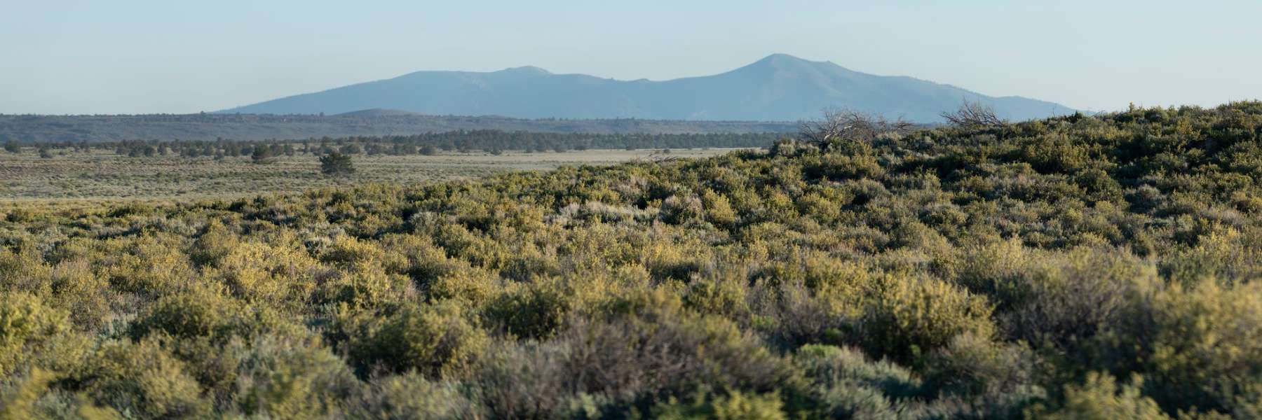
A Sagebrush Sea
The Great Basin is dominated by sagebrush-steppe vegetation that is drought tolerant. This includes shrubs, wildflowers, and perennial grasses.
Alpine and sub-alpine forests are found in the higher elevations where temperatures are cooler and more precipitation falls. Here, you can find bristlecone pines, the oldest organisms on Earth that can live nearly 5,000 years.
The foothills transition to pinyon-juniper woodlands and shrublands. As you travel to the lowest elevations (some even below sea level in Death Valley), the soil becomes so salty and dry that only special types of plants can grow.

Abundant Animals

From rattlesnakes and tarantulas to golden eagles and sage grouse, the Great Basin is home to all sorts of awesome wildlife. Rodents scamper across the landscape, including black-tailed jackrabbits and kangaroo rats. Larger mammals include iconic big game like pronghorn, mule deer, mountain lions, and bighorn sheep.
Meanwhile, it the Great Basin’s rare-but-precious wet places, species like shorebirds and salamanders can be found.
Emerald isles in the desert, such as springs, creeks, playas, or terminal lakes, provide critical food, water, and shelter for much of the region’s wildlife.
Human Communities

Many different Native American tribes made their home in the Great Basin, including the Ute, Shoshone, Paiute, and Navajo. Some of these traditional cultures used horses, while others traveled by foot.
Tribes typically moved frequently during the summer in search of food and water resources, while maintaining winter villages along valley bottoms.
The Great Basin’s endless rows of scorching valleys and steep mountains created barriers for early European settlers migrating west. When the railroad came through in the late 1800s, small communities and larger towns began popping up throughout the region. This rugged landscape is still one of the most sparsely populated parts of the United States.
The Great Basin’s two largest cities are Salt Lake City, Utah and Reno, Nevada. Livestock ranching and mineral extraction (including gold, silver, mercury, lithium, copper, and iron) are the main economic drivers for rural communities in this region.
Challenges Facing The Great Basin
Wildfires are one of the biggest challenges facing the Great Basin’s people and animals. More frequent wildfires fueled by weeds and too-dense trees threaten native wildlife, and also impact rural economies like ranching and recreation.
The proliferation of invasive species like cheatgrass in the Great Basin’s valleys has increased size and frequency of fires relative to historic rates. Meanwhile, fire suppression efforts at higher elevations have allowed pinyon-juniper woodlands to become thicker. Plus, a monoculture of these trees fuel hotter, more devastating wildfires.
Another threat to people and wildlife in the Great Basin is dwindling freshwater supplies. Conservation is important to meet the growing demand for water from cities, industry, and irrigated agriculture.
Luckily, private landowners are proactively addressing these challenges with support from NRCS Working Lands for Wildlife. Their creative, voluntary solutions are helping to maintain the Great Basin’s vast and beautiful landscape for future generations.