Publication Alert
Spatial Technology Reveals Early Warning Signs of Large-Scale Woody Encroachment Threat to Greater Prairie-Chickens
Research provides early warning signal for landscapes transitioning from grasslands to woodlands.

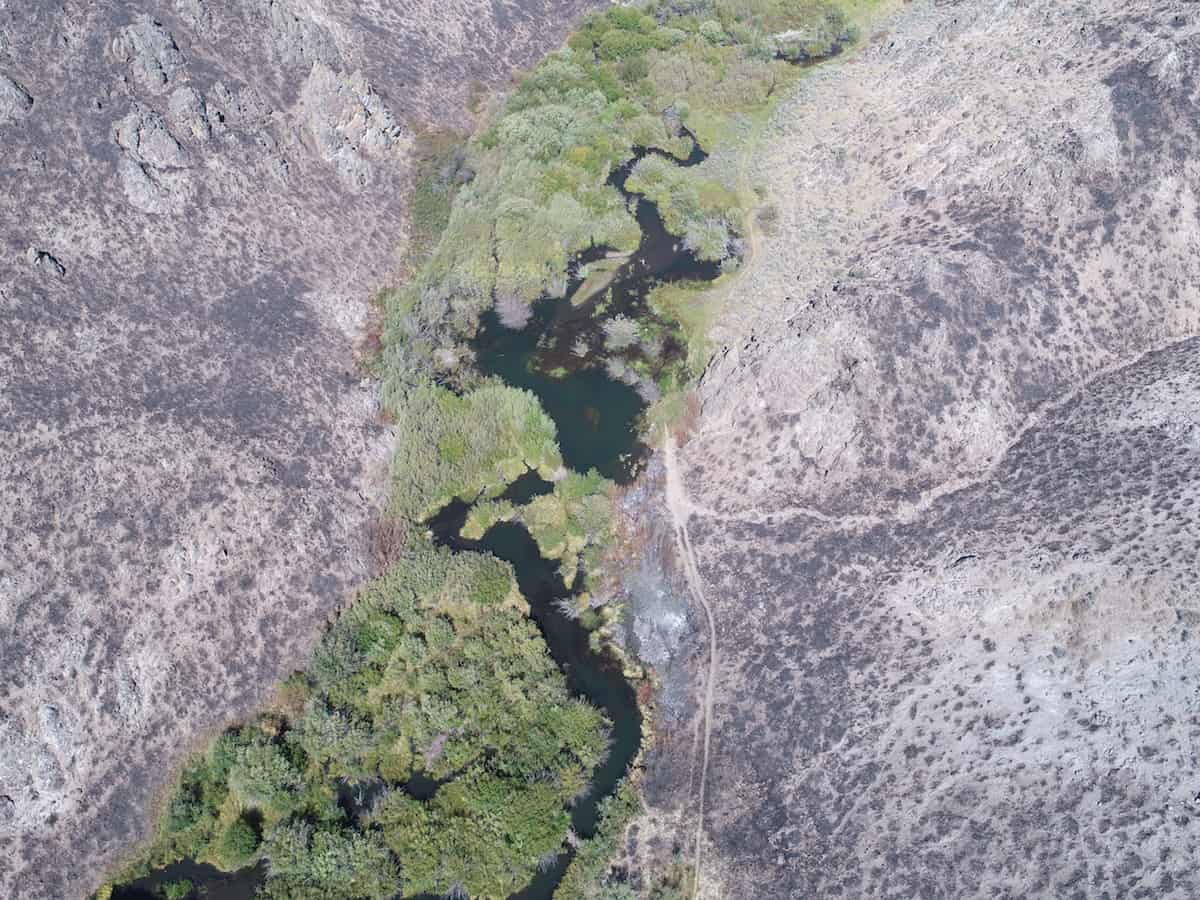
Beaver Breaks: How Beavers (and low-tech riparian restoration) Help Reduce Impacts From Fire
November 29, 2021
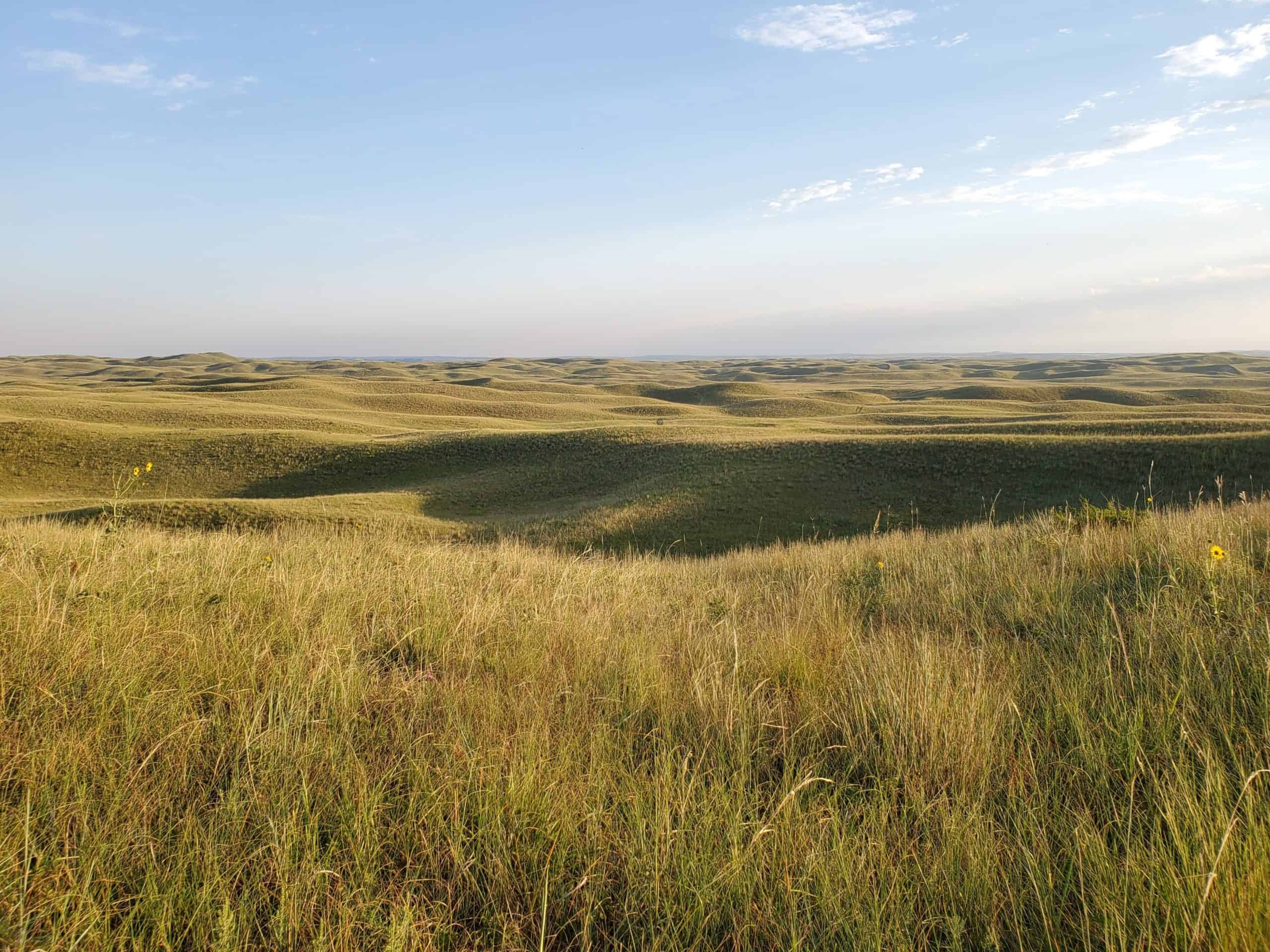
Ask an Expert: Early Warning Signals and Grassland Bird Richness
December 29, 2021
Greater prairie-chickens, like this one, abandon habitat when just one or two trees per acre are present. New research provides an early warning signal to land managers that grasslands are on the verge of transitioning to woodlands, providing opportunities to maintain grasslands before they transition to woodlands and impact grassland-dependent birds.
Nestled in the upper Flint Hills in Kansas, Fort Riley is home to the Big Red One – the U.S. Army’s 1st Infantry Division – as well as a population of greater prairie-chickens. Like the related lesser prairie-chicken and all other grassland-dependent species in the central Great Plains, their habitat is under threat by woody encroachment, which displaces the birds and reduces productivity of these rangelands.
New research supported by Working Lands for Wildlife (WLFW) is capitalizing on innovative spatial mapping technology to monitor this transition from grass to woodland, helping land managers on Fort Riley and throughout the Great Plains better manage this landscape and protect important wildlife habitat.
Greater prairie-chickens, like other upland grouse species, depend on treeless rangelands. Decades of previous research showed when trees encroach on these grasslands, prairie-chicken populations decrease as the birds move out of formerly suitable areas.
Managing core areas for wildlife like prairie-chickens, however, is a challenge for conservationists as wildlife monitoring data are often limited in scope and scale. Fortunately, new innovations in spatial mapping technologies make it easier to monitor ecosystem transitions. This capacity helps managers track not only where these transitions have already occurred, but also where they are just starting to impact the landscape – even when wildlife monitoring data are lacking.
For species like greater prairie-chickens, which avoid habitats with just a few trees per acre, the ability to track such transitions provides an early warning signal of pending habitat loss, as documented through new work led by WLFW-affiliated research from the University of Nebraska and the postdoctoral research of lead author Caleb Roberts (now a research ecologist with the USGS, Arkansas Cooperative Fish & Wildlife Research Unit). This helps managers get ahead of woody expansion, better defend core grassland habitat, and prevent declines in wildlife populations.
This research reaffirms WLFW’s approach for tackling woody encroachment and its reliance on spatial technologies to identify large intact core areas, defend them from woody expansion, and to strategically grow those cores through targeted restoration tactics. This is a key priority of WLFW’s Framework for Conservation Action in the Great Plains Grassland Biome and the new Kansas Great Plains Grasslands Initiative. When coupled with a new science guide that provides the first-ever framework for addressing woody encroachment at large scales, conservationists and land managers have the tools they need to defend core grassland habitats and protect wildlife strongholds being threatened by woody encroachment in the Great Plains.
STUDY TITLE, ABSTRACT, CITATION AND PERMANENT LINK
Article name: TRACKING SPATIAL REGIMES AS AN EARLY WARNING FOR A SPECIES OF CONSERVATION CONCERN
Abstract: In this era of global environmental change and rapid regime shifts, managing core areas that species require to survive and persist is a grand challenge for conservation. Wildlife monitoring data are often limited or local in scale. The emerging ability to map and track spatial regimes (i.e., the spatial manifestation of state transitions) using advanced geospatial vegetation data has the potential to provide earlier warnings of habitat loss because many species of conservation concern strongly avoid spatial regime boundaries. Using 23 yr of data for the lek locations of Greater Prairie-Chicken (Tympanuchus cupido; GPC) in a remnant grassland ecosystem, we demonstrate how mapping changes in the boundaries between grassland and woodland spatial regimes provide a spatially explicit early warning signal for habitat loss for an iconic and vulnerable grassland-obligate known to be highly sensitive to woody plant encroachment. We tested whether a newly proposed metric for the quantification of spatial regimes captured well-known responses of GPC to woody plant expansion into grasslands.
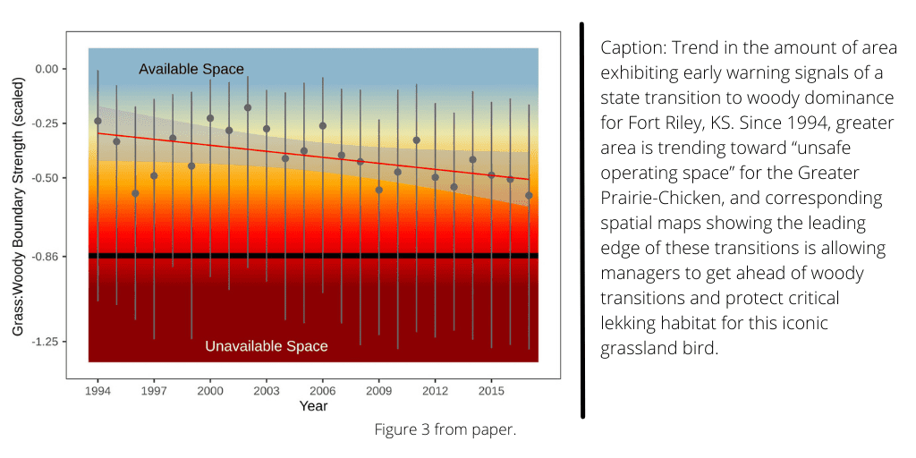
Resource selection functions showed that the grass:woody spatial regime boundary strength explained the probability of 80% of relative lek occurrence, and GPC strongly avoided grass: woody spatial regime boundaries at broad scales. Both findings are consistent with well-known expectations derived from GPC ecology. These results provide strong evidence for vegetation-derived delineations of spatial regimes to serve as generalized signals of early warning for state transitions that have major consequences to biodiversity conservation. Mapping spatial regime boundaries over time provided interpretable early warnings of habitat loss. Woody plant regimes displaced grassland regimes starting from the edges of the study area and constricting inward. Correspondingly, the relative probability of lek occurrence constricted in space. Similarly, the temporal trajectory of spatial regime boundary strength increased over time, moved closer to the observed limit of GPC lek site usage relative to grass:woody boundary strength.
These novel spatial metrics allow managers to rapidly screen for early warning signals of spatial regime shifts and adapt management practices to defend and grow habitat cores at broad scales.
Citation: Roberts, C. P., D. R. Uden, S. M. Cady, B. Allred, S. Fuhlendorf, M. O. Jones, J. D. Maestas, D. Naugle, A. C. Olsen, J. Smith, J. Tack, and D. Twidwell. 2021. Tracking spatial regimes as an early warning for a species of conservation concern. Ecological Applications 00(00):e02480. 10.1002/eap.2480
Permanent URL: https://esajournals.onlinelibrary.wiley.com/doi/10.1002/eap.2480


